Quote:
Originally Posted by DRG

Ah ! so you did.
Mine is looking a bit more "used"
I've only got as far as placing the location of the villages
Did you build that one by hand or use Venhola?......if totally by hand/eye the contours are impressive. That must have taken a lot of time
As daunting an achievement as taking that ridge was after getting a good look at the terrain I'm glad we didn't have to take it from the eastern side. While doing my initial research on it I found a lovely large copy of the barrage plan but it'sd too large to upload even when zipped and reducing it's size makes it unreadable |
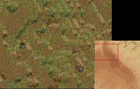
All my maps are built by hand. I get a topographical map with ridge heights and import it into paint.net, then lay a hex pattern over top that fits into the 160x200 Sp editor, and then lay down the heights hex by hex. That is why Chosin (Chinese attack at Yudam-ni) took me over 3 weeks to build, going hex by hex, but all the hills and terrain are correct to within 50m.
I have never heard of Venhola before, I did a search last night when you mentioned it but it came up with other stuff.
I saw that barrage plan before, the numerous coloured lines and such are very confusing to me. No wonder each unit practiced for a month before the battle learning the system.